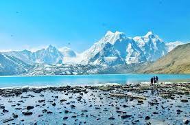
Sikkim encompasses the upper valley of the Teesta river, a tributary of the Brahmaputra. The watershed forms the border with Tibet and Nepal. The Rangit and Rangpo rivers form the border with West Bengal. Teesta and Rangit forms the main channel of drainage and their chief tributaries are generally not less than 5000 ft in depth, which is the main reason for all the monasteries and principal villages to be situated at an elevation ranging from 4000 to 6000 fts. The Singalila Range separates Sikkim from Nepal to the West and the Dongkya Range forms the border in the North and Northeast. In the East the Chumbi valley lies between Sikkim and Bhutan. On its Western side is the massive 31 km long Zemu glacier
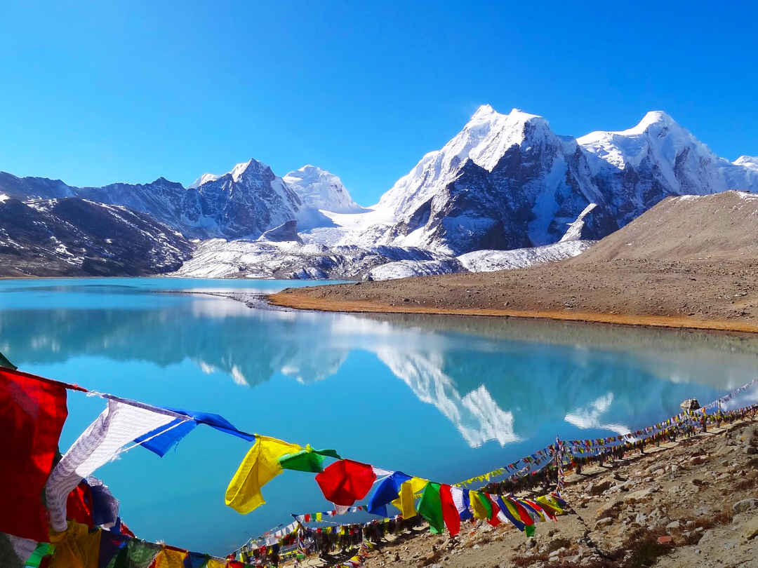
Sikkim encompasses the upper valley of the Teesta river, a tributary of the Brahmaputra. The watershed forms the border with Tibet and Nepal. The Rangit and Rangpo rivers form the border with West Bengal. Teesta and Rangit forms the main channel of drainage and their chief tributaries are generally not less than 5000 ft in depth, which is the main reason for all the monasteries and principal villages to be situated at an elevation ranging from 4000 to 6000 fts. The Singalila Range separates Sikkim from Nepal to the West and the Dongkya Range forms the border in the North and Northeast. In the East the Chumbi valley lies between Sikkim and Bhutan. On its Western side is the massive 31 km long Zemu glacier.


Write Your Review